Winder

The view from the top of Winder, into the heart of the Howgills
Location: SD 654 932
Getting there: Approach from nearby Sedburgh
Height (at trig point on summit): 473m
Prominence: 32m
Map: OS Explorer OL19
Rising above the town of Sedbergh, this accessible hill offers incredible views across the northern Yorkshire Dales, and offers a gateway to the wonderfully quiet Howgills.
Winder is an interesting prospect - it’s diminutive even by the standards of its Howgill peers, yet it seemingly towers above the town below, dominating its skyline to the north. As Alfred Wainwright worte, noting the association between the two, ‘it might create the wrong impression to say that Winder is to Sedbergh what the Matterhorn is to Zermatt, but the relationship is the same. The hill and the town are very closely linked’.
It is only a 350m climb to the summit, but the steep paths that guide you there make you work hard for the views along Garsdale.
With the summits of the Yorkshire Dales in view to the South East, including Great Knoutberry Hill and Whernside, don’t forget to look behind you to the west, as the Lakeland fells rise in the background. The biggest treat is reserved for the summit however, as soon as you reach the trig point, a tempting path leads into the heart of the tranquil, yet tempting Howgills.
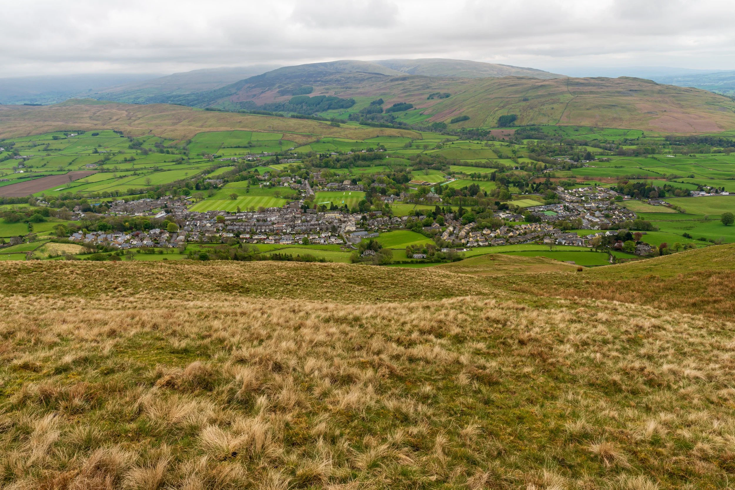
Looking back down towards Sedbergh, from the slopes of Winder
Park in Sedbergh to access Winder, and follow signs for ‘The Fell’ which will lead you onto a track, past a wall and onto the open moors.
There are a number of straight-forward short circular routes, taking you to the summit, and returning to Sedbergh, but it is best treated as a jumping off point for a longer jaunt into the Howgills.
Follow the path from the summit onto the next or the rolling hills or Arant Haw, Calders and The Calf beyond, before circling back via Cautley Spout, or if you’re feeling particualrly brave, continue on through the entire Howgills to the Lune Valley beyond, before a return route via Green Bell and Cautley Spout.


