Stoodley Pike
A dramatic sky provides a fitting backdrop to the monument on Stoodley Pike
Location: SD 973 242 (Monument
Getting there: Longer routes from Todmorden and Hebden Bridge, closest parking to summit is at Withens Clough Reservoir
Height (monument): 400m
Prominence: 39m
Map: OS Explorer OL21 South Pennines
Recognisable from miles around due to the imposing monument that towers above it, Stoodley Pike provides commanding views over the Calder Valley.
Naturally, the monument provides the main reason to visit this hill, but a tour of the area of Withens Moor to the south provides an insight into the area’s industrial heritage. A number of reservoirs supplying Greater Manchester give an almost-eerie water vista, with the ‘highest beach in England’ lining the shores of nearby Gaddings Dam.
Walking between the reservoirs on the summit of Stoodley Pike
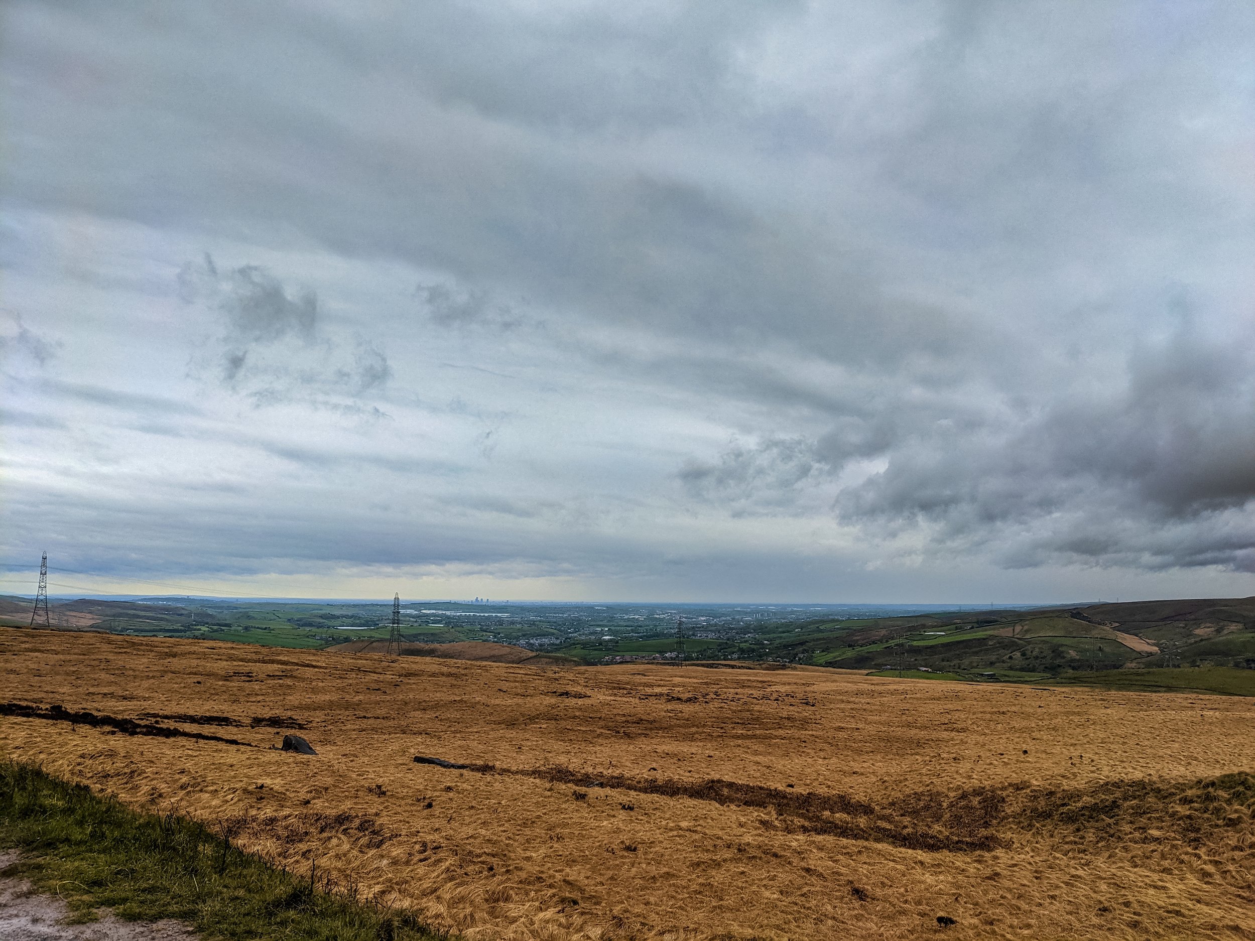
It is from the reservoirs that the view opens up to reveal Manchester and its satellite towns in the distance, a reminder that even seemingly within the confines of the Pennine Valleys, the crossing between the ‘Roses rivals of Leeds and Manchester is a short one.
Manchester in the distance, viewed from Stoodley Pike
The monument itself serves commemoration of Napolean’s defeat at Waterloo. Built upon the site of an earlier, collapsed monument, it was completed in 1856. Today, the monument remains open to the public who brave the elements to visit it, with a viewing platform reachable via an internal staircase providing an even more impressive view of the surrounding area.
The ground on which the monument is constructed is not the highest point of the moor -that distinction falls to a spot near the remote trig point of Little Holder Stones some 4km to the south, however at 422m, this is still lower than the top of the monument.
The remote trig point, 4km south of Stoodley Pike monument
A number of paths converge on Stoodley Pike - not least the Pennine Way which passes from north to south past the monument, and good, circular walks are available from Hebden Bridge and Todmorden.
For easiest access (by foot, it’s a pretty remote road by car!), drive through Cragg Vale to the car park at Withens Clough Reservoir - from here it is a short hike to the summit.
The hill of Stoodley Pike is instantly recognisable due to the imposing monument on its summit


