Bowfell
The eastern face of Bowfell, towering above Great Langdale in the Lake District
Location: NY 245 065
Getting there: Easiest approach is from Great Langdale, via The Band.
Height (spot height near cairn on summit): 902m
Prominence: 146m
Map: OS Explorer OL6 Lake District South Western Area
One of Alfred Wainwright’s ‘best half dozen fells’, the panoramic views from the top across the entire Lake District help this mountain live up to its reputation.
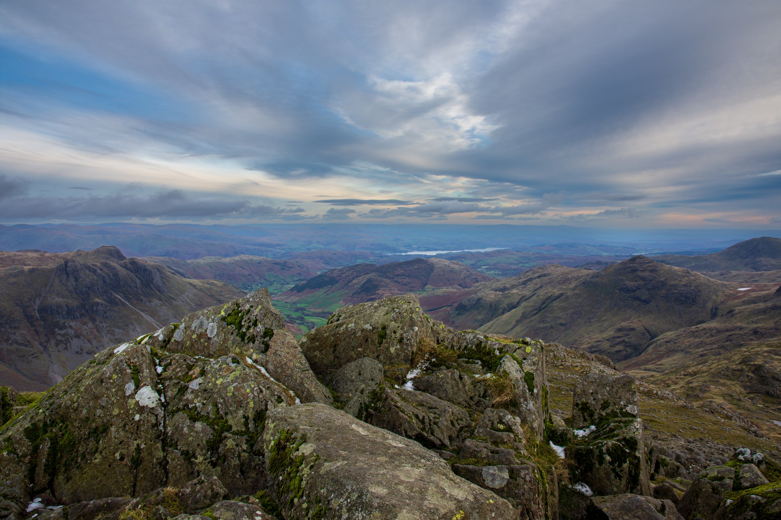
Looking across towards Windermere, from the summit of Bowfell.
Sporting a very traditional ‘mountain’ shape, and a pointy summit, there is very little human history of note on the fell, which is unsurprising given its height and isolation. The summit itself is a rocky affair, with no trig point and only a loose cairn to indicate that you’ve reached the top of the sixth highest mountain in England. The bleakness of the summit is soon forgotten as you take in the views - every lakeland mountain range is visible from the top on a clear day, and despite its popularity with walkers, Bowfell will be significantly quieter than its parent, Scafell Pike, visible just across the valley.
The rocky, distinctive summit of Bowfell
The most popular route involves ‘The Band’, a long, sloping ridge that divides Little Langdale and Great Langdale. A relatively straight-forward circuit, first entering Great Langdale, before ascending to Esk Hause, before climbing Esk Pike, then Bowfell, before descending via The Band, makes for a good day out. Of course, if you’re feeling more adventurous, you could also include Scafeel Pike, though despiteits apparent closeness, it’s further away than you think!
Youcan also approach from the ridge line to the south, via Crinkle Crags, or from paths via a number of remote valleys- Langstrath, Borrowdale, or Eskdale.
Angle Tarn, nestled into the slopes of Bowfell
If possible, it’s worth trying to include a visit to Angle Tarn on your travels - the relatively small lake is relatively deep, and trout can be found lurking within its depths. The photo here doesn’t do it justice, the towering side of Bowfell simply seems to pluge into the pool below.
Scafell Pike, viewed from the summit of Bowfell.


